The “Campus Maps” feature does not only give you a view of various campus locations found on the official University campus maps. Another feature is that you can use apps “Directions” ability to show you and plan out GPS based travel routes to the locations on Google Maps.
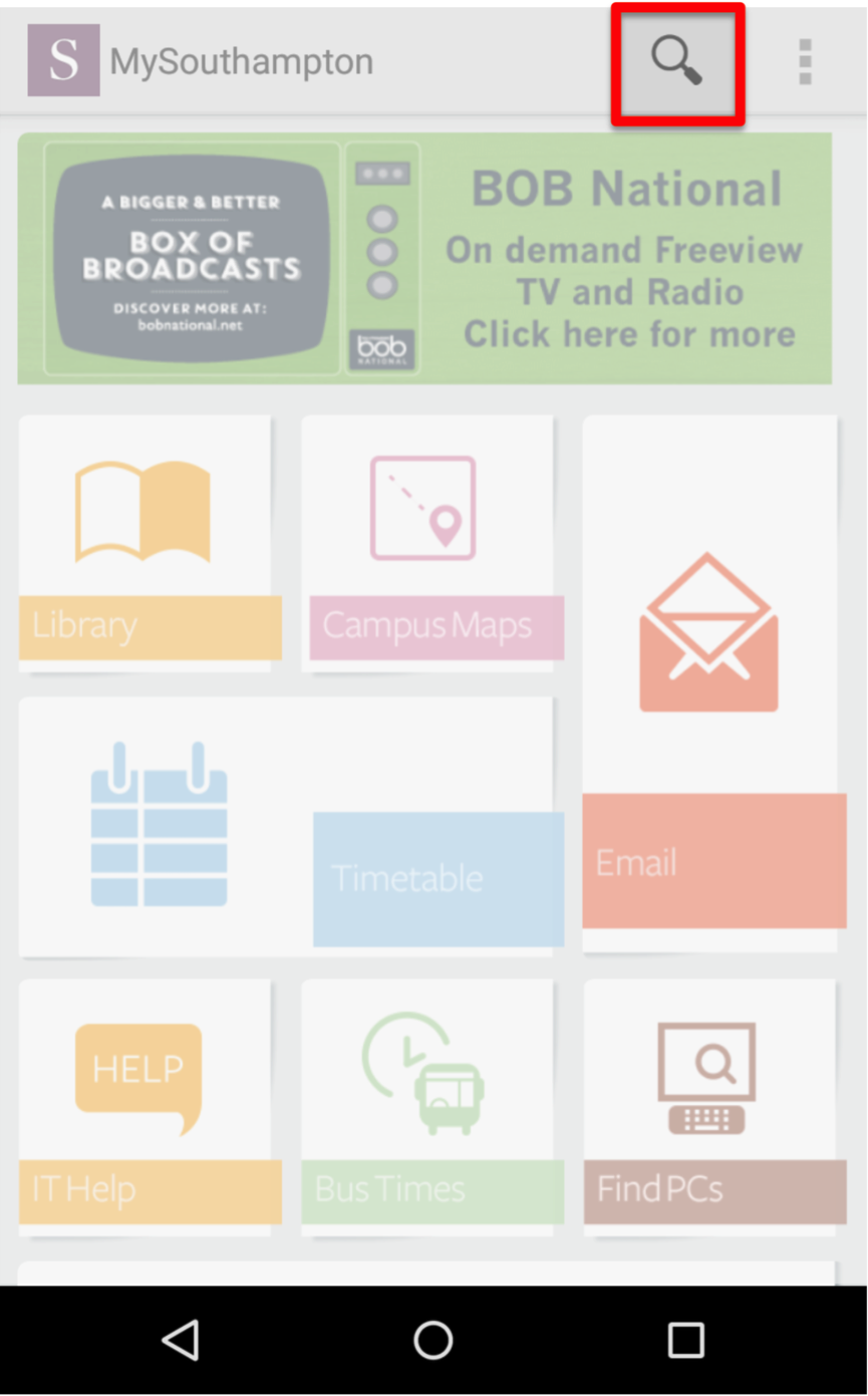
This can be be done two different ways; via the main icon or alternatively for a more direct way of looking for a location, you can also use the “Search” (magnify glass icon) function to quickly find a location. Both methods are show in these quick and easy steps.
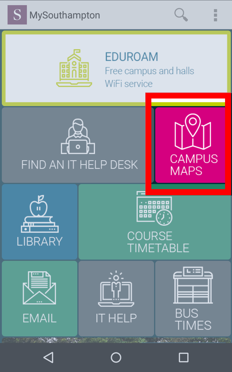
- Using the “Campus Maps” method, first click on the maps icon
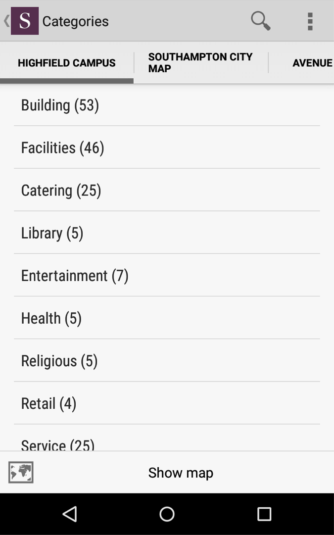
- Then find the location you wish travel to
- Once you have clicked on desired location, click on “Directions”
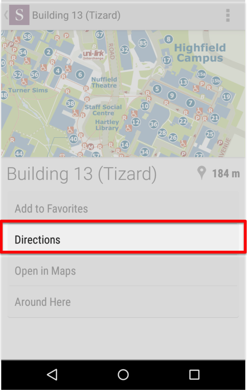
- You can then select it to open Google Maps based on your location and Google will then plot a step-by-step route to your location

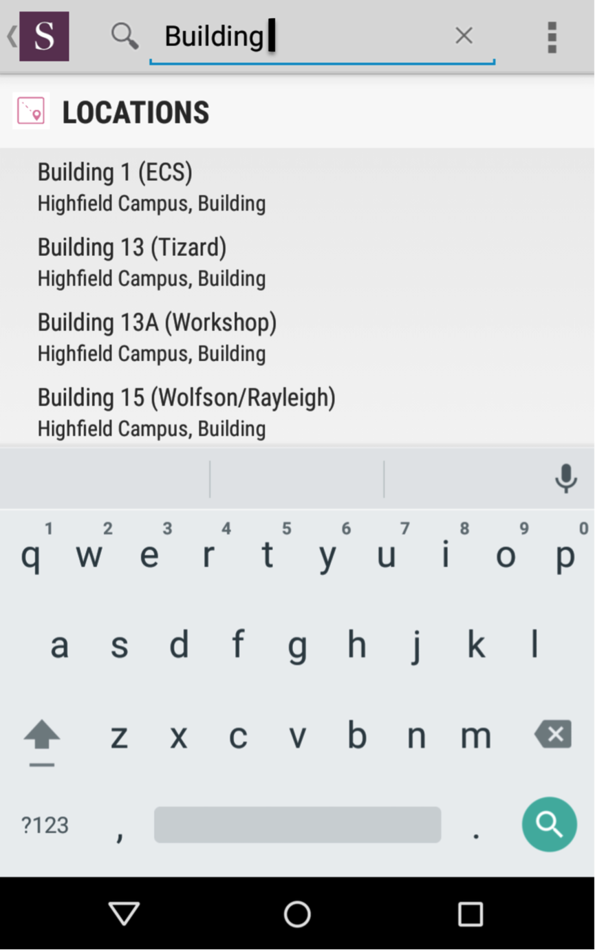
- The “Search” button is found in the top right for Android, the bottom right toolbar for iOS and the top left toolbar on the Web version of the app
- You can then start typing in the location name and follow the same steps after click on “Directions”. Or you may wish to search for other key words within the app itself with the same feature.