Currently browsing category

ACRG, Page 11

Archaeological Computing Research Group

Digitally Recording A 3rd Century BC Underwater Battlefield

One of the most exciting archaeological discoveries of the last decade has been an ancient naval battlefield off the Egadi Islands in Italy. Located in over 100 metres depth and requiring robots to survey and record the artefacts, the site dates to the decisive climax of the First Punic War between Rome and Carthage in 241 BC. Previously, only two waterline warship rams had ever been discovered, but ten have been found at the battle site together with thousands of other artefacts. Continue reading →

Alasdair Whittle’s ā€œTimes of their Livesā€ project in Seville

I have just spent an intense but immensely rewarding few days with the Alasdair Whittle’s ā€œTimes of their Livesā€ project in Seville, Andalucia, where a new dating programme for the fantastic Copper Age site of Valencina de la Conception is starting to take shape. Valencina is a site I’ve been interested in for some time with my long term collaborator and friend Leo Garcia (Seville University) and it’s an exceptional site in many ways. Continue reading →

Luxor, time for reflection, and some useful information

Finally got back from Antinoupolis to Luxor on 5th March, after a great season in the field with Jay Heidel. The Italian mission from the University of Florence closed the dig accommodation on the morning, and we took a micro bus up on to the desert edge through Deir Abu Hines and Deir el Bershar, then south along the desert road, around the Qena bend in the Nile and down to the bright lights of Luxor. Continue reading →

RTI at the Urban Variation Conference, Gothenburg

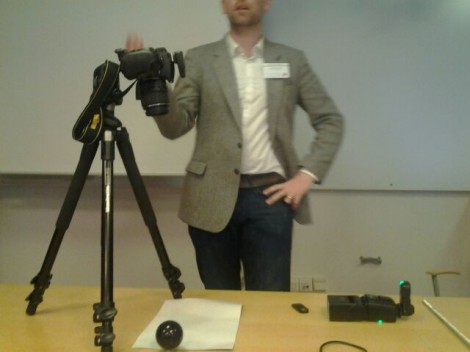
Last week Gareth and I travelled to Gothenburg in Sweden to present at the Urban Variation conference.Ā  The conference website is here: http://conference.earlymoderntown.com/urban-variation/.Ā  The conference was organised by the Early Modern Town Project team (find the University of Gothenburg project website, here; http://www.earlymoderntown.com/) and was attended by a multidisciplinary crowd of academics and professionals. Continue reading →

1st March day off and visit to the Via Hadriana and quarries of Antinoupolis

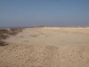
After another long week of survey, it was good to get out for a morning, away from the noise of Sheikh Ebada, and to have a look at the broader landscape of the ancient city of Antinoupolis. The planned itinerary was to walk up past the hippodrome, and along the wadi, finding the start of the ramp that leads to the Via Hadriana, the road linking Antinoupolis and the Nile with the Red Sea coast. Continue reading →

End of another week of magnetometry and topographic survey

Another week of survey at Antinoupolis is at an end. This week work focused on survey in the area of the ancient city, between the northern corner of the walls and the east gate survey area from 2012. In addition Jay has spent the last few days starting a GPS topographic survey of the east gate and the hippodrome to the north-east of the city. Results of the hippodrome topography are looking impressive. Continue reading →

Visit to the Sheikh Ebada mosque and the tomb of Ebada Ibn Samet

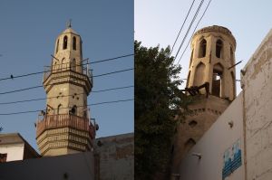
Once again finding time to be able to write is getting difficult, with the survey work going on at a strong pace. Time for two blogs this evening, later on some updates on the survey, but for now a description of a short trip the team made the other evening to the mosque in Sheikh Ebada, and to the tomb of Ebada Ibn Samet. The mosuqe is located in t he northern part of Sheikh Ebada, aligned with the northern decumanus of the Roman city. Continue reading →

#bttowerview

I love this digital stuff. Following a tweet and some exchanges of emails the inimitable @cgutteridge has created a great mashup of the BT tower view panorama, wikipedia (including use of RDF) and lat long locations e.g. from google maps. Have a look at the BTtowerview mashup. It would be great to identify some archaeological and architectural history locations as RDF to feed into the view. Has anyone hacked a way of turning a long lat location to #bttowerview bookmark? e.g. btlondon2012.co. Continue reading →

End of first phase of magnetometry – and a day off

Second blog of the day trying to catch up on over a week of missed writing. For the last four days the magnetometry has been continuing in the necropolis area of Antinoupolis. Work starts on site at 7am sharp, and we take a knackered old pick-up truck on a track roughly along the line of one of the decumani of the city, out to the Severian wall and up to the Coptic chapel of Theodosia adjacent to the Roman necropolis. Continue reading →