End of another week of magnetometry and topographic survey
Another week of survey at Antinoupolis is at an end. This week work focused on survey in the area of the ancient city, between the northern corner of the walls and the east gate survey area from 2012. In addition Jay has spent the last few days starting a GPS topographic survey of the east gate and the hippodrome to the north-east of the city.
Results of the hippodrome topography are looking impressive. The sheer scale of the remains means that the results show really clearly, standing proud of the surrounding wadi and desert plain.
The hippodrome measures 400m in length and over 100m across, with the sand deposits of the seating areas rising over 10m in height. Unfortunately the modern cemetery is encroaching on its northern side, eating away at the earthworks. The reason for the rapid survey is to record as much as possible before it disappears.
Magnetometry in the city has revealed a number of anomalies. Not least a large enclosure or courtyard area measuring over 200m across, with the street pattern and structures showing clearly in that part of the city.
We need to finish the survey on Saturday and Sunday, but hopefully all will go well. During the survey today, as we approached the massive mud-brick and ceramic mounds to the west, a pair of african rock martins hovered alongside the grid, swooping down low across the path of the magnetometer, trying to lead me away from their nest site.
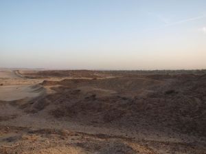
At the end of the afternoon we too ka walk up on to the heights of some of the larger mounds of the city, and got a stunning sunset view of the entire landscape. The quarries on the gebel to the east, the city, with granite and limestone columns protruding from mud-brick like ivory pillars, and the double wall of the city stretching away to the east.
A good time to reflect on the results so far, and to plan for the last few days of the survey here. There is some real scope for rapid GPS topographic survey accompanying the magnetometry, and scope also for running GPR and ERT surveys here in the future.


