Currently browsing tag

RTI, Page 3

ACRG at field-school in Estonia

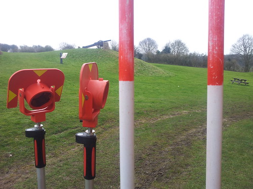
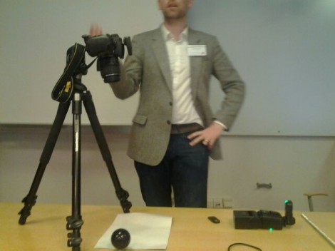
Ten days ago three members of ACRG visited Estonia to participate at the archaeological field-school. It was organised by Marge Konsa from University of Tartu who also spent several months in Southampton as a visiting research student. Field-school took place in Lihula, a tiny village in West Estonia. County of Läänemaa is filled with great archaeology, so we could enjoy little of it as well. Continue reading →

Underwater RTI HMS Invincible

On February 19th,  1758 the HMS Invincible set sail out of Portsmouth Harbor for Canada to join the British fleet to fight the French.  Unfortunately, due to a domino effect of extraordinary bad luck, she ran aground on Horse Tail Sand not far from the harbor.  Invincible was a French ship launched in 1744 and captured by the British in 1747.  At that time the British out-number the French on the sea. Continue reading →

Underwater Reflectance Transformation Imaging…a success.

I’ve been working on Reflectance Transformation Image capture in a sub-aquatic environment.  On 2 May, 2013 the first ever PTM file from an RTI dataset captured entirely underwater was successfully processed in the Archaeological Computing Research Group computer lab at the University of Southampton using RTIBuilder software.   Images were captured in 1.5 meters of water at the campus Jubilee pool using a common 12mpix digital camera and a 15 watt 1000 lumen HID dive-light. Continue reading →

Capturing and exploring textures in National Archive

BT 43/57/71976: Straw hat, registered on 18 September 1850; proprietor unknown Some time ago we made a visit to UK National Archive with James Miles to test RTI technology on a wide range of examples provided by the National Archive. James went back in September of 2012 for a second time to do more recording. Recently Dinah Eastop, a Curatorial Research Fellow from the National Archives has written two blog posts and presented the results of the work on their blog. Continue reading →

Spring Survey Week One – Day Four

Today was a cold but very productive day up at Basing House. Preparing for day four of the topographic and building survey. March 2013. The student teams are getting faster at recording topography and have covered huge areas of the site. On day four, students have been surveying the earthworks at the south east of the site. Surveying in the limits of the New House has been tricky as there are partial walls to try to identify. Surveying the New House stables. Continue reading →

RTI at the Urban Variation Conference, Gothenburg

Last week Gareth and I travelled to Gothenburg in Sweden to present at the Urban Variation conference.  The conference website is here: http://conference.earlymoderntown.com/urban-variation/.  The conference was organised by the Early Modern Town Project team (find the University of Gothenburg project website, here; http://www.earlymoderntown.com/) and was attended by a multidisciplinary crowd of academics and professionals. Continue reading →

How to fix incorrectly aligned RTI images

Often, when capturing a RTI data set, especially when using a cable, the images captured can be out of place, resulting in an incomplete data set. The following is a how to guide to fix this problem using Photoshop. The first step is to load all of the files into Photoshop using the correct tool. This is done by clicking the file tab, then Scripts and then “Load files into Stack”. Continue reading →

Reconstructing Portus – Rome’s Lost Empire

Why produce computer models? We have been producing computer graphic representations as part of our work at Portus since 2007. These are used for a number of purposes. Firstly, they help us to bring together all the many forms of digital data gathered on site, through survey, geophysics, photogrammetry, laser scanning and other tools. For example, we are combining three-dimensional geophysics with laser scans and excavated sections to understand the development of the Building 5. Continue reading →