Currently browsing category

Blog, Page 16

Digitally Recording A 3rd Century BC Underwater Battlefield

One of the most exciting archaeological discoveries of the last decade has been an ancient naval battlefield off the Egadi Islands in Italy. Located in over 100 metres depth and requiring robots to survey and record the artefacts, the site dates to the decisive climax of the First Punic War between Rome and Carthage in 241 BC. Previously, only two waterline warship rams had ever been discovered, but ten have been found at the battle site together with thousands of other artefacts. Continue reading →

RTI at the Urban Variation Conference, Gothenburg

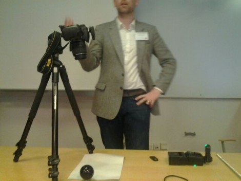
Last week Gareth and I travelled to Gothenburg in Sweden to present at the Urban Variation conference.  The conference website is here: http://conference.earlymoderntown.com/urban-variation/.  The conference was organised by the Early Modern Town Project team (find the University of Gothenburg project website, here; http://www.earlymoderntown.com/) and was attended by a multidisciplinary crowd of academics and professionals. Continue reading →

#bttowerview

I love this digital stuff. Following a tweet and some exchanges of emails the inimitable @cgutteridge has created a great mashup of the BT tower view panorama, wikipedia (including use of RDF) and lat long locations e.g. from google maps. Have a look at the BTtowerview mashup. It would be great to identify some archaeological and architectural history locations as RDF to feed into the view. Has anyone hacked a way of turning a long lat location to #bttowerview bookmark? e.g. btlondon2012.co. Continue reading →

Transmitted RTI

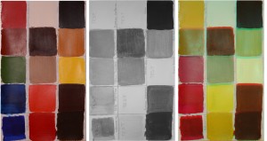
Following our successful experimentation with microscopic RTI and multispectral RTI, we develop a transmitted RTI methodology, inspired by transmitted photography, a set-up proposed for conservation documentation of translucent materials, canvas paintings, mounded papyri, photographic material, and works of art on paper or archival material. The transmitted RTI provides an enhanced RTI visualisation, complementary to reflected visible and infrared RTI. Continue reading →

How to fix incorrectly aligned RTI images

Often, when capturing a RTI data set, especially when using a cable, the images captured can be out of place, resulting in an incomplete data set. The following is a how to guide to fix this problem using Photoshop. The first step is to load all of the files into Photoshop using the correct tool. This is done by clicking the file tab, then Scripts and then “Load files into Stack”. Continue reading →

Acoustic properties of Moche sites in the Jequetepeque valley, Peru (Dianne Scullin, Columbia)

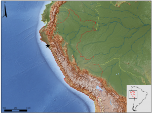
Earlier this month, I attended the South American Archaeology Seminar, hosted bi-annually at UCL by Dr Bill Sillar. These sessions are an outlet for a broad variety of interests and terrific original research stemming from archaeologists working South America and the Caribbean, yet the overlap with archaeological computing is a surprisingly rare occurrence. Continue reading →

Reconstructing Portus – Rome’s Lost Empire

Why produce computer models? We have been producing computer graphic representations as part of our work at Portus since 2007. These are used for a number of purposes. Firstly, they help us to bring together all the many forms of digital data gathered on site, through survey, geophysics, photogrammetry, laser scanning and other tools. For example, we are combining three-dimensional geophysics with laser scans and excavated sections to understand the development of the Building 5. Continue reading →

Plans for resuming joint excavation

I have just been down to Portus today to discuss plans for resuming our joint excavation at the Palazzo Imperiale with the Soprintendenza Speciale per i Beni Archeologici di Roma (Ostia Antica) in January. I hope that the results from this coupled with the screening of the BBC1 programme Rome’s Lost Empire on Sunday will remind people of the importance and richness of this unique site. Continue reading →