Using Software to Synthesise Data
Dan has put together a few screenshots of some of the awesome things that he has been doing as part of his dissertation work for the Masters in Archaeological Computing.
Dan’s dissertation topic is:
How can modern computer software be used to create a comprehensive synthesis of information gained from archaeological sites, and what can be gained from this approach?
In Dan’s own words:
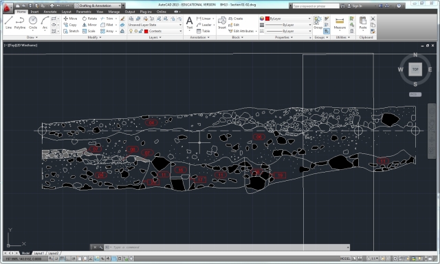
“I am seeing how possible it is to integrate data from Topographical, Geophysical and Building Survey, Old Excavation Data (in the form of paper and permatrace records as well as photographs), Digital Excavation Data (in the form of Total Station context recording, digitised section drawings, and context records in a database), photogrammetry data, Lidar data and Ordnance Survey data within a different software solutions. i.e Esri ArcGIS, AutoCAD Civil 3D and Map 3D.”
This photo shows Peter and Gareth using the makeshift ‘pole-camera’ to take a series of photographs of the trench that Dan has stitched together using PhotoScan.
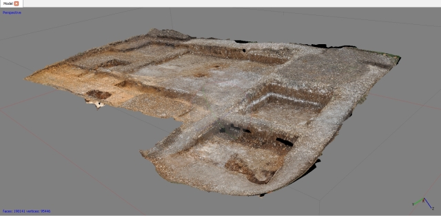
Photogrammetry results after processing the photos using PhotoScan.
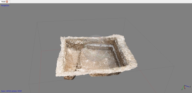
This is a close-up of Box 8A, showing how useful photogrammetry can be in helping us to see more than we might be able to see with conventional photographs. There is some 3D geometry to this, which is hard to see in a static screenshot.
Filed under: Dan Joyce, Dan Joyce, Digital Methods, Recording Methodology, Student Research Post, Summer Excavation Tagged: AutoCAD, building survey, Civil3D, context records, digitisation, Esri, Geophysical, Lidar, Map3D, Ordnance Survey, photogrammetry, photos, section drawings, sections, Topographical


