Plotting the trench
This morning some of our team travelled up to Basing House to finalise plans with the staff at the site, and to look again at some of the things we’ll be working on while we’re digging later this month.
First of all though, we couldn’t resist going to look at the recently discovered Tudor fireplace, found by the building contractors whilst they have been working hard to fix brickwork issues on the standing remains. It was a beautiful bright morning, and so I managed to get some snaps of the fireplace that are light enough to see some great details.
In the photo, you get a nice view of the plaster that has survived around the outside of the fireplace.
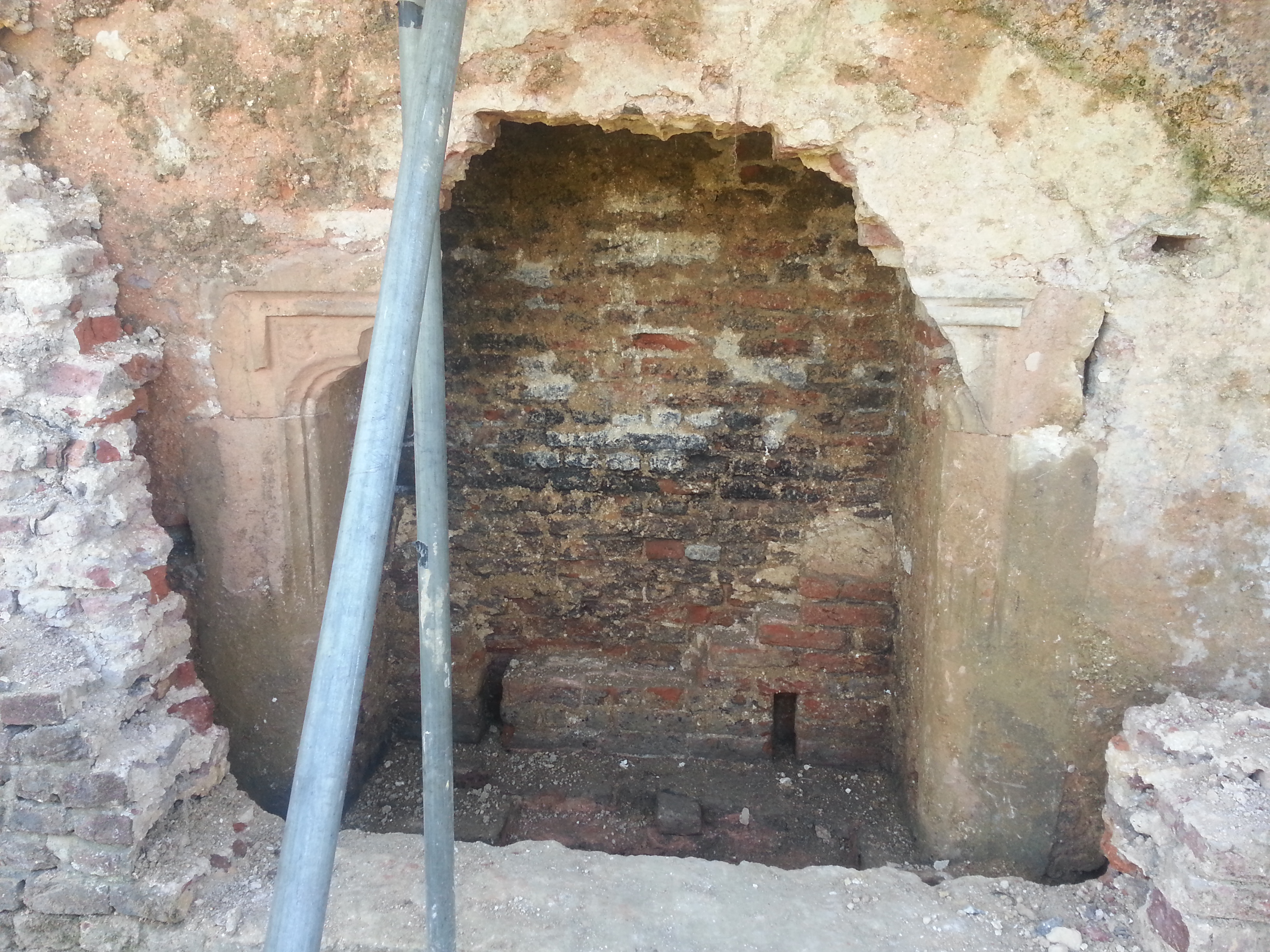
The Tudor fireplace, with remaining plaster.
Here, you can see the rectangular holes in the wall next to the fireplace, that would have been used to fix pegs into so that wooden panels could be fixed to the walls.
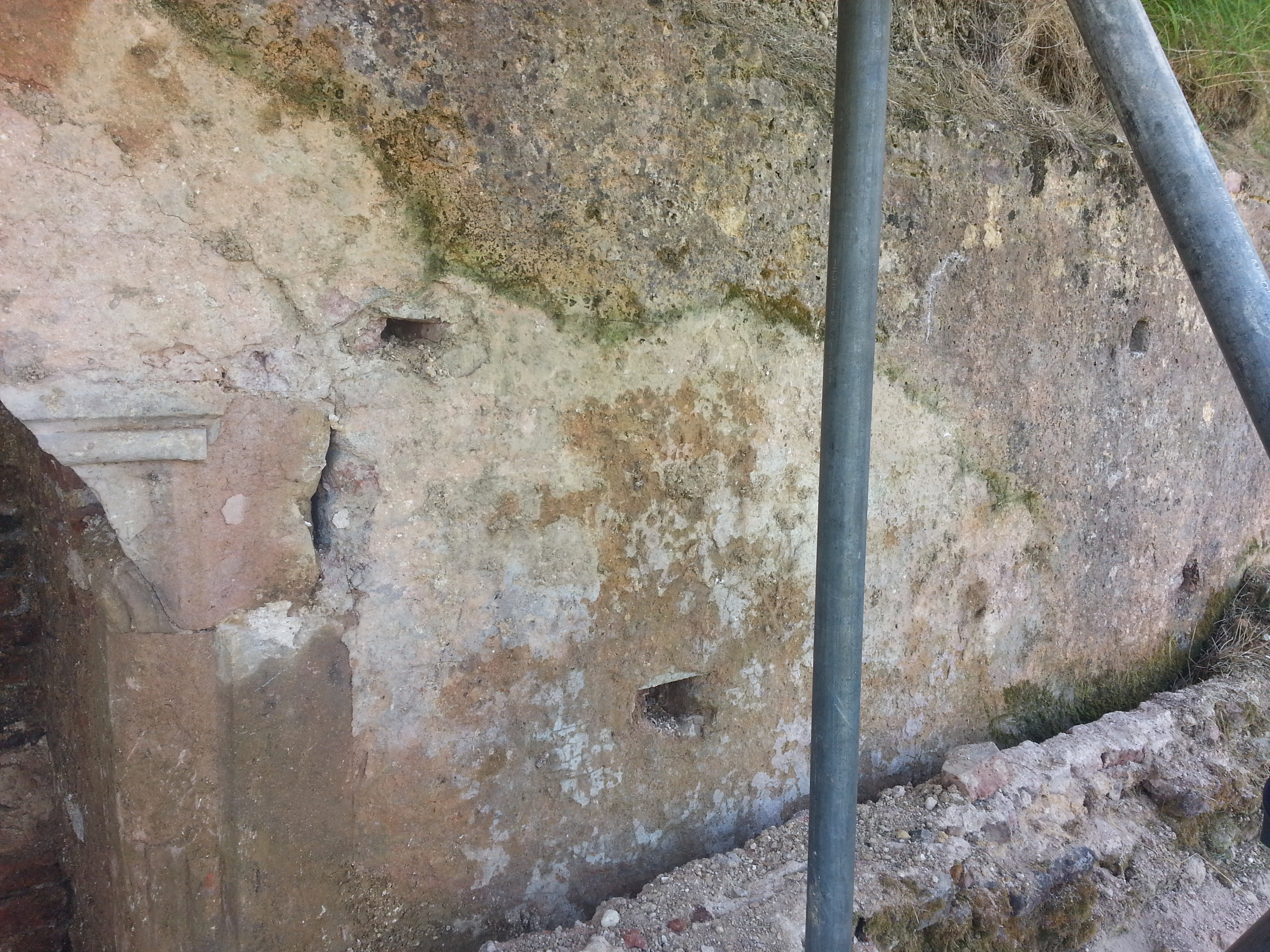
Holes to fix wooden panels in place, can be seen in the walls surrounding the fireplace.
This shows off the plaster detail, and also tantalisingly shows the gapping hole in the centre of the top of the fireplace. I bet there was a gorgeous massive decorated lintel in there! Makes you wonder when it was removed… and indeed whether it’s still around somewhere in the huge collection of stonework and plasterwork that Hampshire County Council Museums Service looks after.

Holes to fix wooden panels in place, can be seen in the walls surround the fireplace.
After we’d visited the fireplace, we went to mark out the outside perimeter of the trench. The space we’re going to be digging in is just under 20m by 20m. It’s huge! We knew how big it was, as we’ve been studying the original drawings from the 1960s excavation in ArcGIS. ArcGIS is the piece of software that we use for mapping. GIS stands for Geographical Information System.
Here’s an example of what we’ve been looking at on our computer screens:

The trenches that we will be excavating are located at the bottom of the plan.
Dan has been working hard on the survey data from April-May, and has also been digitising old plans and maps of the site, to put together a more complete record of the previous excavations at Basing House.
We did a quick walk of the perimeter, and planned locations for things like the spoil heap, and site tent.
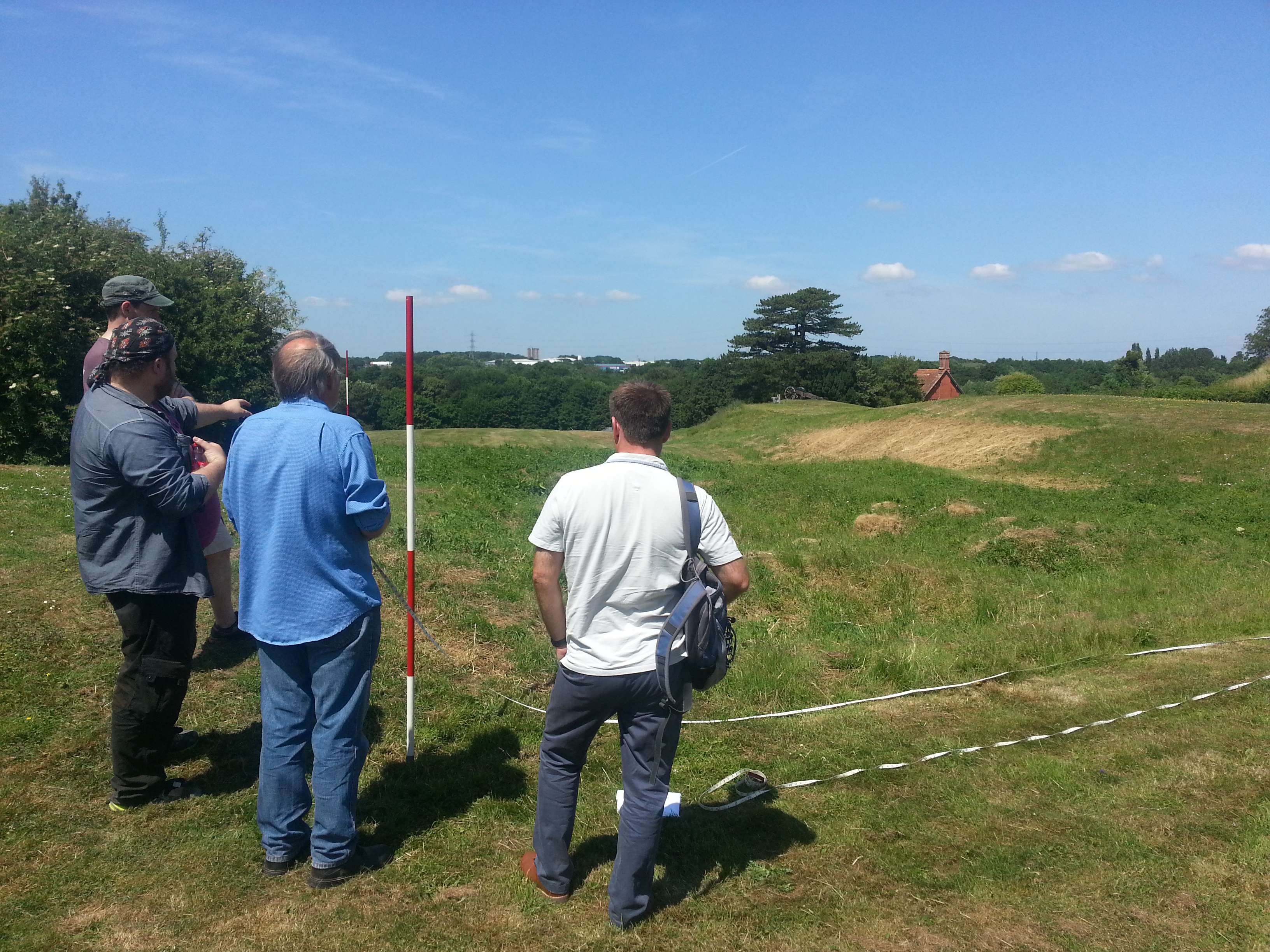
Measuring the extent of the trench.

Contemplating the trench.
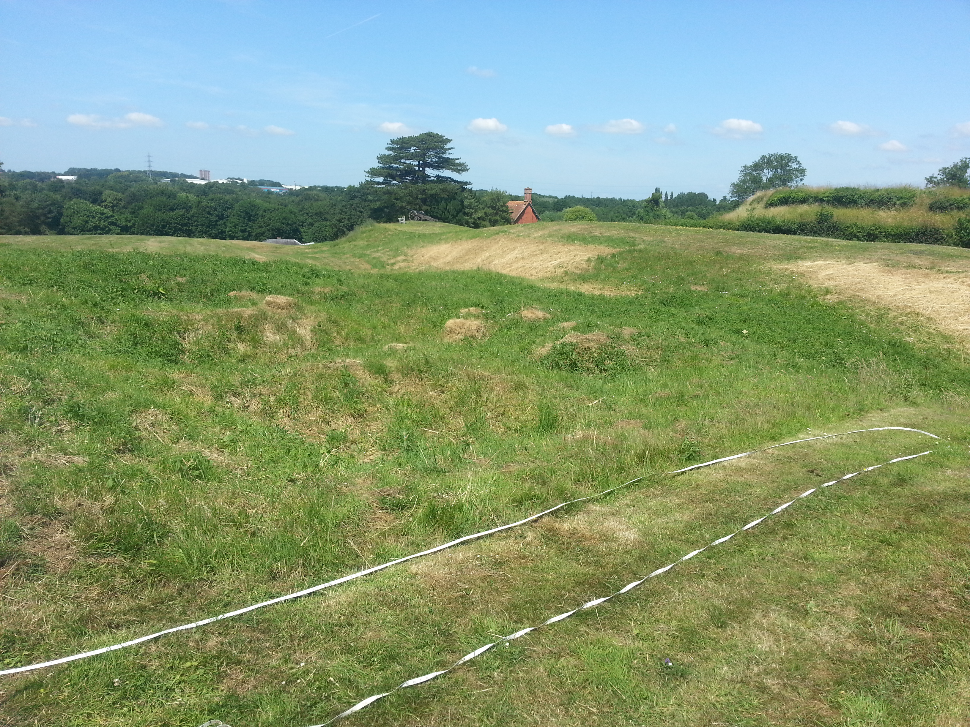
Its very difficult to photograph such a large expanse of grass, but this is an attempt at showing the whole trench site.
The tiny building in the distance is the Bothy, which we are going to be using as our finds identification hut during the course of the excavation, so you’ll be able to visit us and see what we’ve been up to.
Filed under: Excavation Plans, Summer Excavation Tagged: deturfing, measuring, planning, trench


