Mapping and topography
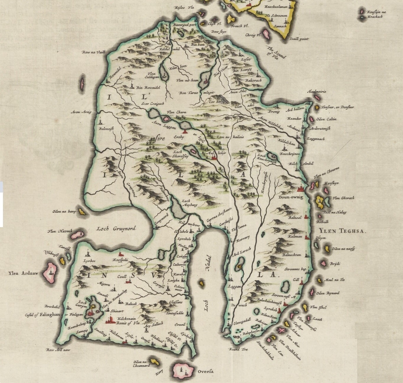
To characterise and interpret the range of archaeological remains (built structures, field boundaries and artefacts), intensity and forms of land use on each island associated with population and economic changes, we will undertake an assessment of post-Bronze Age archaeological remains associated with political changes in the region. We will extract data from archaeological reports as well as HER records from which will be plotted onto Lidar DEMs. We will incorporate these spatial data into an industry standard GIS. The construction of a GIS is essential (i) to quantify the spatial scale of human occupation and impact through land use in different periods, and (ii) to assess links between the islands. We are aware that there is going to be serious issues of classification hence the provision here for a specific and dedicated fieldwork component with dating. A case in point is duns, enclosures and forts, these are separated in the HER, and conventionally have different chronologies.
Environmental reconstructions
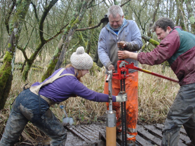
To identify changes of land use, and the presence and density of pasture and cultivation we will integrate pollen and spores, biomarker, isotope and sedaDNA analyses from 14C and 210Pb dated lake sediment cores. We will core 1-2 lakes from each island followed by analyses of pollen, non-pollen palynomorphs, and stable isotopes. The present pollen record is incomplete with low resolution diagrams from 4 islands with no Post-Medieval record. We also aim to compare high-resolution pollen with the archaeology and biomarkers (n-alkanes) and sedaDNA on one selected core per island. Our work on an Iron Age site in SW Scotland (Black Loch of Myrton) and preliminary work on Rathlin has shown that the these lakes retain a good sedaDNA record of the last 3000 years and more. However, we will go beyond this to use both PCR and next generation sequencing (NGS) which captures the whole genome, particularly to study pathogens. We will use a special coring device to retrieve the shallow depth historical record. Age depth models will use 14C AMS on identified fragile plant macrofossils, 210Pb and tephrochronology. We will correlate age-depth models with the chronologies of archaeological sites and the data from the desk based analyses.
Estimate historical island populations
To estimate island population size we will undertake diatom P-proxy, faecal sterol biomarker analysis on at least one core from each site. Faecal sterol analysis will be undertaken, developed our project members in Newcasle. The faecal sterol methodology under the Celtic Crannogs project showed that a combination of stenols and bile acids indicate high levels of human activity.
Climate reconstruction
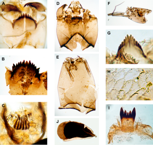
Derive local climatic trends we will undertake NIRS, and chironomid analysis of sediment using a methodology being developed at Newcastle and Tromsø. Our team is an expert in use of invertebrate remains in climatic and archaeological settings and will perform chironomid analyses. NIRS will be undertaken for the upper levels of all cores and chironomid analysis on a total of three cores to provide a regional climate signal. It is important to note that no regional climate records exist for the past 3000 years with sufficiently high temporal resolution to place in the chronosequence climate anomalies like the Medieval Warm Period and the Little Ice Age.
Chronology and dating
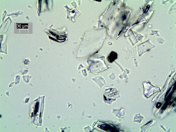
Tephra analysis will be undertaken on all cores to assist in providing a high-resolution chronology and provide an independent test of potential climatic influence. Previous studies show a high number of tephra layers in this region that will aid the dating of the Late Bronze Age and Medieval period sequences, including as many as seven historically dated tephras in the last millennium. Tephra isochrons not only provide high precision dating evidence, free from issues of old carbon uptake in water systems, but also form timesynchronous tie-points between the sediments in which they are found.
Linking it all together
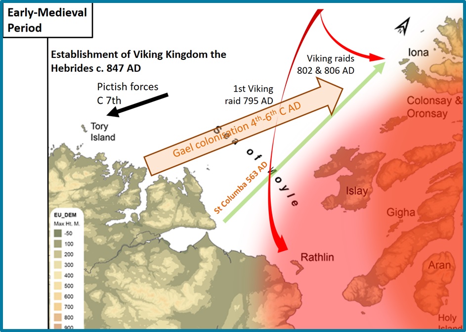
In order to assess the variability in historical population and landscape change in 6 island communities within the same geographical area over the last 3000 years and relate it to both external and internal geopolitical and socioecological factors. We will undertake statistical comparisons of the following dated records: archaeology, 14C SPD, NIRS and chironomid-derived temperature changes, sedaDNA records, diatom derived P function, biomarker and isotope records and archaeological and historical records. Correlations between the records will be analysed using multivariate statistics (principal components analysis) and changes in temporal trends will be highlighted by break point analysis.
