Course Overview
The objective of this learning object is to introduce the content and structure of the ‘Topographic Data Analysis Techniques and Applications course’.
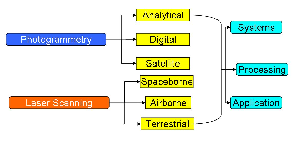
Welcome to ‘Topographic Data Analysis Techniques and Applications’. This course is intended to cover processes, data and techniques relating to elevation information about earth surface features, without direct contact with them. The course focuses on the potential and development of 3D visualization in remote sensing. Most of the data sources used in this course use the visible ornear infrared parts of the electromagnetic spectrum. Therefore, they are broadly categorised as optical 3D measurements. There are three main sections in the course, based on the techniques or data sources used to obtain elevation data:
- Photogrammetry : using aerial photographs or satellite data
- Airborne laser scanner: using LIDAR (light detection and ranging) data collected by an aeroplane
- Terrestrial Laser scanner: Using Lidar data collected by a sensor on ground.
For each of these three data sources we will cover data acquisition principles, sensor types, pre-processing, extraction of Elevation information and application of the data.
A major aspect of this course is the coursework assignments associated with it. Students will need to complete 3 coursework assignments using standard remote sensing and GIS software. The first assignment is based on using raw LiDAR data to extract digital elevation models. The second assignment is based on generating and comparing DEM data from satellites. The final assignment is based on using LiDAR data to produce a forest inventory (a real world application). Compared to the associated introductory remote sensing course ‘Remote Sensing for Earth Observation’, this course has a strong focus on data processing and analysis. So students are expected to spend a greater proportion of their time using the software and data. We hope you enjoy this course.