SAR DEM
The objective of this learning object is to introduce the creation of DEM from Synthetic Aperture Radar (SAR) data. Illustrations and references demonstrate the application of SAR interferometry in earthquake monitoring.
Synthetic Aperture Radar (SAR)-based satellite sensors are also currently being used to derive digital elevation models (DEM) of the terrain. In the radar data, the signal is backscattered from the ground and the strength of the backscattered signal depends on many factors like soil moisture, and roughness. A time delay is introducted in the return signal due to height variation in the terrain. The amplitude and phase of the return signal helps to form an interferogram, which is intelligently deciphered to derive the DEM. Basic knowledge about SAR data and its characteristics is very much needed to understand this process.
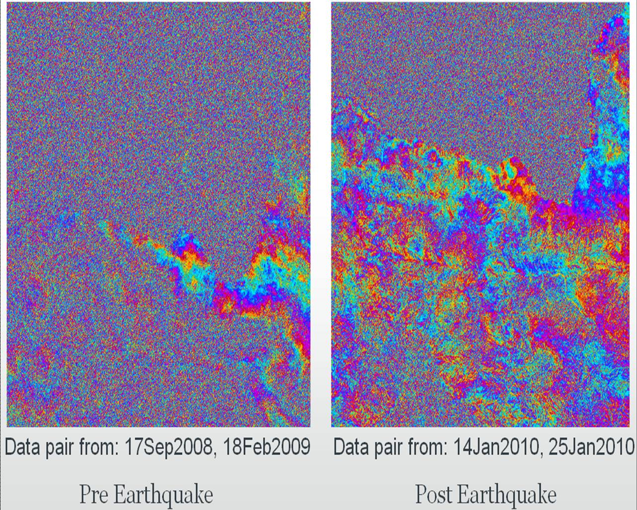
The SAR interferogram is very sensitive to minute variation on the ground surface, and hence, it is often used to see the terrain deformation details after an earth quake (also used to monitor terrain movement as precursor information in earthquake prone zones).
The following illustrations show pre- and post-earthquake interferograms relating to the earthquake of magnitude 7 which occurred in Haiti on 12th January 2010. (Source: Eineder et al. 2010)
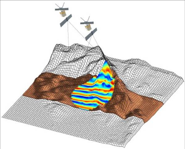
A SAR interferogram overlayed with a terrain model would look like this:
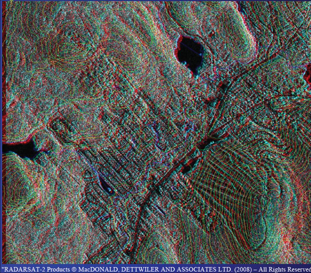
The stereo view generated from Radarsat-2 over Quebec, Canada is shown below (anaglyph glasses are required to see the 3D effect).
References
The following web links provide further information on DEM availability from satellite imagery and the use of SAR interferometry to monitor earthquakes.
Chapman, B. (1995) Earthquake Studies: SAR Interferometry and Surface Change Detection In: SAR Interferometry and Surface Change Detection (Ed. Dixon, T. H.)
ESA Earth Watching. https://earth.esa.int/web/earth-watching/home
Digital elevation models from satellite imagery. Geoimage. http://www.geoimage.com.au/media/brochure_pdfs/Geoimage_DEM_brochure_Oct10_LR.pdf