Recent Comments
Archives
Categories
- No categories
Meta
5.4. Spatial Resolution
Objectives
In this learning object students will learn the definition of the spatial resolution of a sensor, and explore the factors which help to determine spatial resolution and its impacts on the information which can be obtained about the target.
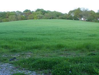
Spatial resolution refers to the smallest size of an object that can be picked out from its surrounding objects or features. The following images show a succession of increasing resolution from the lowest, in which a wood is just visible on the top of a hill to the highest in which individual fruits are identifiable. A suitable sensor (such as a magnifying glass or microscope) would enable us to view the structure of individual leaves.


(Image source: David Martin)
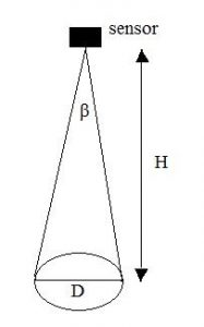
The smallest size of an object in a remote sensing system is expressed in units of distance such as km, m, cm, etc. to describe the smallest size of an object that can be picked out. This is mainly determined by the IFOV of the sensor.
![]()
where
![]() is the diameter of the ground sampling element (m),
is the diameter of the ground sampling element (m),
![]() is the flying height of the sensor (m) and
is the flying height of the sensor (m) and
![]() is the IFOV of the sensor instrument (radians)
is the IFOV of the sensor instrument (radians)
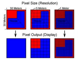
When spatial resolution is high, we are able to see much detailed information
This becomes more apparent when searching for recognizable ground features in remotely sensed imagery:
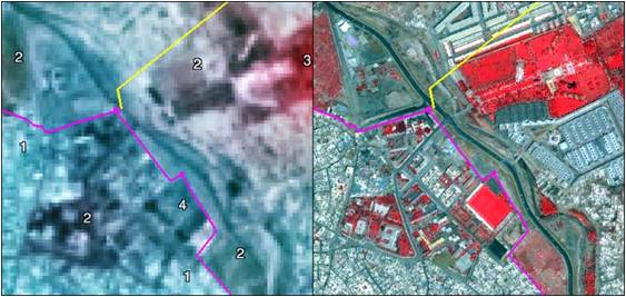
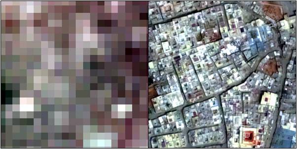
In the left hand image above, the ground resolution is 20m, wheras in the right hand image it is 2.5m. It is clear from these images that ground features become more readily identifiable as spatial resolution increases.
The highest spatial resolution available for civilian use until recently has been the GeoEye sensor, with a ground resolution of 50cm.
High spatial resolution sensors cannot cover such a wide area on the ground. High resolution gives much more spatial detail but may in fact provide too much data!
The Earth’s surface is approximately 500 x 106 km2. At 10m resolution this would require 5 x 1012 pixels (> 5 x 10⁶ Mb per band); at 1km resolution the same area would require 5 x 108 pixels (>500Mb per band).
However, there are great advantages to high spatial resolution if the user is interested in a specific region for the purposes of urban planning or the estimation of crop yields per field.
There is thus a trade-off between coverage and detail (and data volume).
Reflection
Which of the following images has the higher spatial resolution?
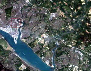
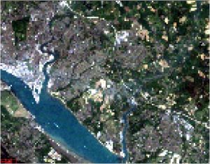
Show Answer