Recent Comments
Archives
Categories
- No categories
Meta
5.2. Types of Platform
Objectives
The objective of this learning object is to introduce the basic types of remote sensing platform. The platform provides support for the sensor and platforms can be divided into three types:
- Ground based
- Airborne
- Spaceborne
The distance between the platform and the target being imaged depends upon the spatial resolution required (how much detail is needed?), the area coverage required (how big is the area of interest?) and the purpose for which the data are required.
Spaceborne platforms in the form of satellites are the most common remote sensing platforms and further attention is therefore given to the different types of satellite configuration, particularly in so far as this affects the detail and coverage of the imagery obtained.
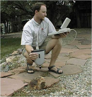
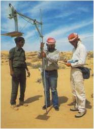
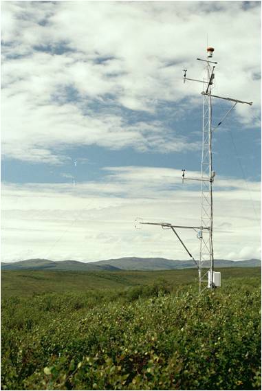
Ground-based Platforms
Ground-based platforms are mainly used to collect spectral information. They provide a basis for preliminary investigation and concept understanding. They are also used for the calibration and validation of airborne and spaceborne data.
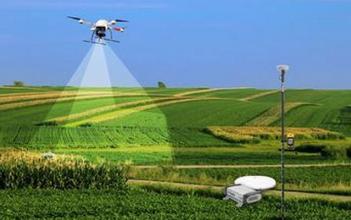
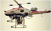
Airborne Sensors
Airborne sensor platforms may be unmanned aerial vehicles (UAVs), helicopter or aircraft. Fixed wing aircraft are the platform of choice for most applications as they provide a stable platform for small-area, high resolution surveys. Airborne platforms can also serve to test spaceborne sensors before they are placed into orbit.

Spaceborne Platforms
Satellites provide the spaceborne platform for sensors and are indeed the most common remote sensing platform. The path followed by a satellite is referred to as its orbit. Compared with manned spacecraft satellites offer many advantages. For example, no life support systems are required, making them cheaper to build and launch. Satellites can offer very long periods of operation, using repetitive orbits and providing global coverage.
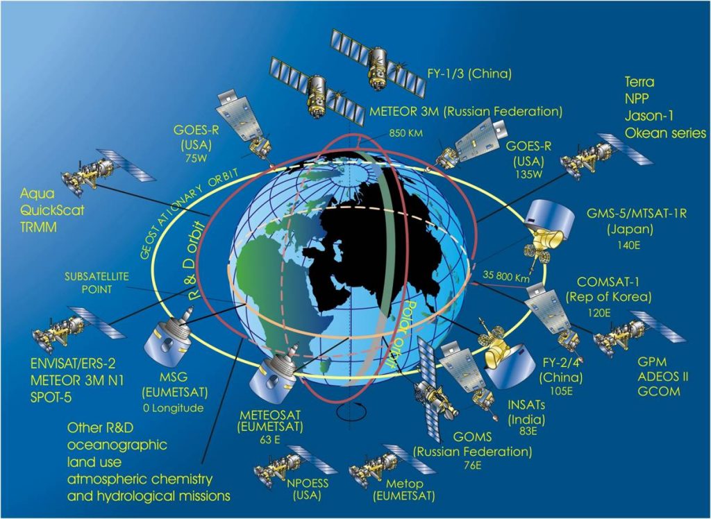
Types of Orbit
There are three principal types of satellite orbit:
- Geostationary – generally used for telecommunications satellites
- Polar – generally used for remote sensing satellites
- Low earth – generally used for spy satellites
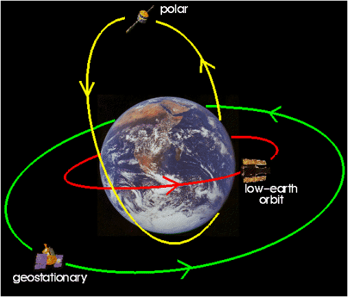
The characteristics of each of these will now be considered in turn.
Geostationary Satellites
Geostationary satellites operate at high altitudes (approx 36,000 km) and move above the equator in synchronization with the earth’s rotation, with the result that they remains in the same position above the Earth. They are used for meteorological and communications purposes, and some can monitor the weather over entire hemispheres of the Earth. This approach provides the same view of the Earth every 30 minutes, particularly appropriate for observation of rapidly-changing patterns such as weather.
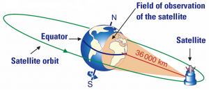
Advantages of geostationary orbits are that it is possible to see the whole Earth disk at once due to the large distance and that the same same spot on the surface is seen all the time (high temporal coverage) This is a big advantage for weather monitoring satellites because observation of atmospheric dynamics is critical to short-term forecasting and numerical modelling.
However, disadvantages include the typically low spatial resolution which results from high altitude, while orbiting over the equator means that the poles cannot be seen very well. Spatial resolution at 60-70° north or south is several times lower than at the equator and at higher latitudes, the imagery is of limited use.
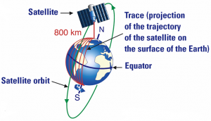
Polar Orbiting Satellites
Polar orbiting satellites operate at low altitude (approximately 800km), moving from north to south so as to cover the Earth surface in a particular period. Low revisit intervals mean that it be 2 weeks between successive coverage of the same region. This type of orbit is mostly used for remote sensing studies.
Some polar orbiting satellites are sun-synchronous, which means that they cover each area of the Earth at a constant local time of day, called local sun time. At any given latitude, the position of the sun in the sky as the satellite passes overhead will be the same within the same season. The satellite travels northwards on one side of the Earth (ascending pass) and then toward the southern pole on the second half of its orbit (descending pass). The ascending pass is most likely to be on the shadowed side of the Earth while the descending pass is on the sunlit side.
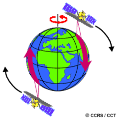
(Image source: Canada Centre for Remote Sensing)
Advantages of polar orbiting satellites include the 90 degree inclination to the equator and an orbital period which is typically 90-105 minutes. Spatial resolution is generally higher than that obtained from geostationary satellites and the rotation of Earth under the satellite gives the potential for total global coverage.
However, it is necessary to launch to a precise altitude and orbital inclination. Drag from the atmosphere causes the orbit to become more eccentric over time (known as orbital decay) and the low temporal coverage is unsuitable for some purposes.