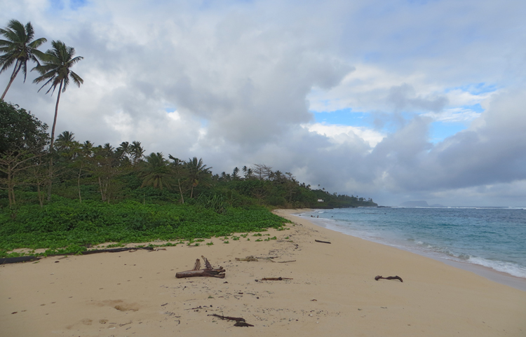
The PLUS group has gone rather tropical with the arrival of 3 new PhD’s Charlotte Hipkiss, Marjorie Fis and Nicola Strandberg, with funding from the AU and SPITFIRE. Between them and two other PhD’s (Marie Schenkler – Coastal change in Solomon Islands with Rob Nichols and Ivan Haigh; Tom Dickson – Modelling the performance and routing of Polynesian Sailing canoes with James Blake (Ship Science) and Helen Farr (Archaeology) there’s a a lot of new research activity in the Pacific. The new PhD’s will focus on the Colonisation process in Pacific Islands (Nicola), Climate dynamics in the SPCZ region (Marjorie) and the impact and dynamics of droughts and their role in the colonisation of the Pacific (Charlotte). The group is in early days but already the range of techniques and approaches is diverse and exciting, with new collaborations in OES (Jessica Whiteside’s group in OES), Royal Holloway (Adrian Palmer), UEA (CRU), plus of course cross-research group supervisory teams in SOGES. The group is tackling major science questions around the dynamics of tropical climate systems over different timescales (ENSO, ITCZ/SPCZ), the impact and drivers of the last major human migration, and the vulnerability of small islands to climate and human induced change. The arrival of the group coincides with publication of two Pacific papers – one led by collaborators in the US provides a new method for reconstructing quantitative precipitation data from lake sediment records (Maloney et al., 2018), and another led by Mike Clare (NOC) on multiple drivers of turbidity current hazards in Vanuatu (Clare et al., 2019). We’re looking forward to more of these as the Pacific group develops.
Impact Research
Prof David Sear, GeoData and ex Postgraduate of the Department Prof Joe Wheaton (Utah State University) are working on a Defra/Environment Agency funded project to predict the risk of geomorphic change during extreme flooding. Recent series of extreme floods in 2009, 2013, 2015 and 2016 resulted in major damage to infrastructure, property and livelihoods. Much of this resulted form both the extreme weather, but also the modification of floodplains by people. Whilst the focus in the past has rightly been on flooding of urban areas, NERC funded research by the team has revealed the importance of artificial constriction by road and rail infrastructure. Squeezing the flood flows through unnaturally narrow gaps, generates the erosive capacity to tear out river bed and banks, whilst these eroded materials are rapidly deposited downstream as the floodplain expands. The present research aims to develop tools for predicting the locations of high risk and high sensitivity to erosion and deposition during extreme floods that will help resource managers plan land use and perhaps modify infrastructure plans to minimise damage or permit geomorphic processes to operate naturally.
Prof David Sear and GeoData have been working with stakeholders Natural England and the Forestry Commission to co-produce with the wider Forest community, a new strategy for the restoration of wetlands and rivers in the New Forest. This builds of a legacy of research in the Forest undertaken by the Department since the early 1980’s. The new strategy will help guide the design and implementation of restoration activity in the Forest.


