
This is an important question in understanding the coastal concerns. To understand and answer this question in further details, our expert geographer, Dr. Dhritiraj Sengupta, used his expertise in satellite imagery (called Geospatial data) to identify how has the coast changed in the last 60-100 years. The below images speak for themselves. Have a look!
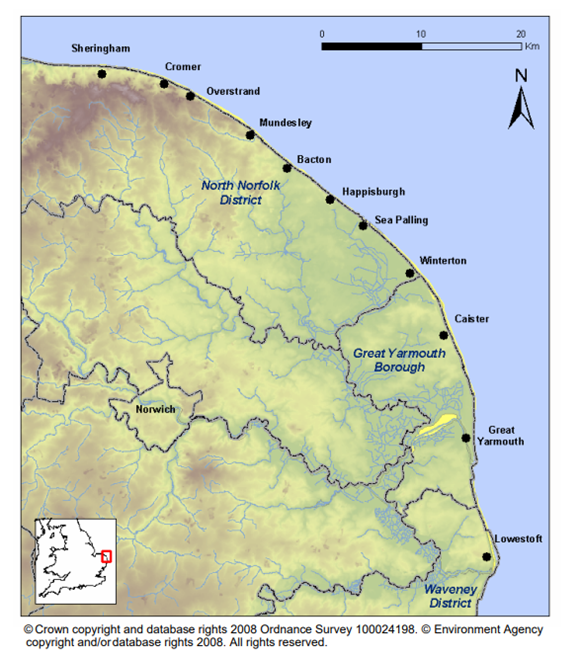
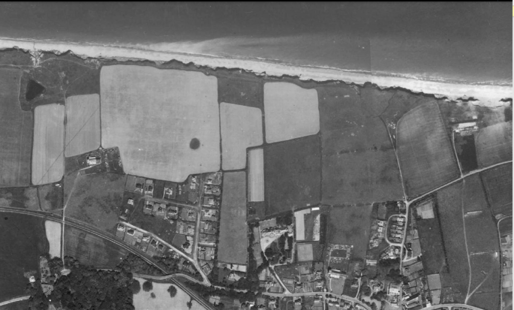
In the image below you can compare the images of West Runton in 1960s to 2023. See something interesting?
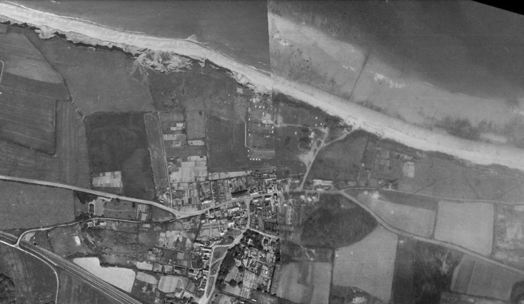
This is 1960s
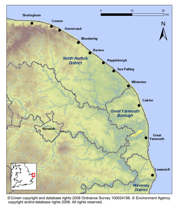
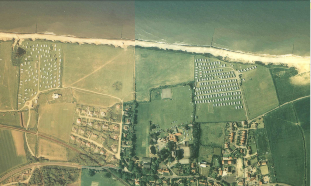
This is 2023
And what about East Runton. Here is an image from 1960s.
And then in 2023.
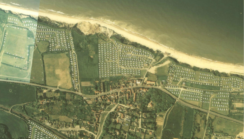
Between 1960s and 1988 approximately 30 Hectares of coastal land area was changed into Caravan parks. Much of the Caravan parks are mainly located within 10 meters from the shoreline in West and East Runton.
So, the question we need to ask is that is it the coastal erosion or our greed to have the sea view that is causing greater coastal concern.
Leave a Reply