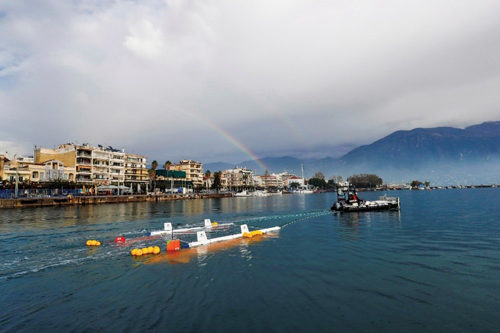
An Autonomous Surface Vehicle (ASV) towing two Autonomous Underwater Vehicles (AUVs) out to shore form the port of Kalamata, Greece
Dr Blair Thornton, Associate Professor of Marine Autonomy in the FSI group and Director of the Centre of Excellence for In situ and Remote Intelligent Sensing (IRIS) has recently been awarded the 2020 Waterway Technology Award in Japan as part of Team KUROSHIO, Japan’s entry to the $7M Shell Ocean Discovery X-Prize.
For more information visit
http://www.jamstec.go.jp/team-kuroshio/en/team/
Team KUROSHIO recently placed 2nd in the 2019 Shell Ocean Discovery X-Prize, receiving a $1.1M runner up cheque at the award ceremony held in June 2019 in Monaco.
The Shell Ocean Discovery X-Prize was an international robotics competition that saw 27 teams from around the world to compete for a total prize of $7M. The competition was held in Kalamata, Greece in December 2018, and required teams to survey a 500km2 region of seafloor located 15 nautical miles from shore at a depth of 4000m in the Mediterranean sea. At 4000m depth, maps generated from ships equipped with state of the art acoustic mapping devices would only achieve a resolution of ~40m, but teams here were required to generate maps with better than 5m resolution, meaning that they would need to deploy submersible robots the achieve this feat. Teams had 48hours to complete this ambitious challenge, where all operations from the moment the robotic platforms entered the water at the port of Kalamata until their eventual return to the port had to be carried with not human intervention.
Team KUROSHIO’s entry consisted of two, 4000m depth rated Autonomous Underwater Vehicles (AUVs) and an Autonomous Surface Vehicle (ASV). The team was able to successfully transit from the port to the survey site and deploy their systems to survey over 100km2 of the seafloor in the available time. Once the systems found their way back to shore, the team had a further 48 hours to process the data collected by the submersibles, to determine their location in GPS denied underwater environment, and generate 5m resolution maps of the seafloor in the surveyed region. Team KUROSHIO placed second to GEBCO Alumni, an international team consisting of 30+ members.
In addition to receiving the $1.1M runner up prize for their achievement in the competition, the members of Team KUROSHIO were invited by Prime Minister Shinzo Abe to be congratulated by him directly, and receive the 2020 Waterway Technology Award for this outstanding achievement.
If you want to try your hand at Maritime Robotics, you can find current opportunities to do a PhD in the subject here
https://hydro.soton.ac.uk/wp-content/uploads/sites/297/2020/01/lanchaster-1.pdf
and here
https://www.southampton.ac.uk/iris/
Or if you just want to see some videos of related activities, visit these links
IRIS centre – https://www.youtube.com/watch?v=Pj0KvSwsnCE&feature=emb_logo
Adaptive Robotics – https://www.youtube.com/watch?v=uQVnabh45u4
If you are an undergraduate and want to get involved, you can take SESS6072 Maritime Robotics of contact any member of staff about projects and internships in Maritime Robotics.
